Ludford

Walk Highlights
- Location:
- Lincolnshire Wolds
- Parking:
- Ludford Village Hall, Playing Fields Lane.
- Distance:
- 7.00 miles
- Time:
- 3.00 hours
- Difficulty:
- Moderate
- Terrain:
- Fields and country lanes.
- Facilities:
- Pub Nearby, - Facilities: Pubs on the route.
- OS Map Route:
- View Route on OS Maps
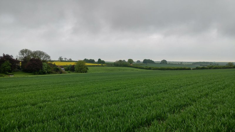
Ludford is located in the Lincolnshire Wolds. This circular walk begins in the village and joins the Viking Way long distance footpath. Once out of the village you will pass alongside an old, disused, airfield and pass by the deserted medieval village of East Wykeham.
How to get there
Ludford is located on the A631 road, reached from the A46 to the west of Lincoln.
Walk
1 The walk begins at Ludford Village Hall. Walk to the main road, the A631, cross over it and head to your right through the village. Head on past the White Hart Pub and church which will be on your left. At a break in the hedge, you will find a signposted path to follow, which heads diagonally across the field.
2 Once you reach the lane, head right onto it and head down it, along with the edge of the disused airfield. You will see ahead of you some trees, head toward these until you reach Wykeham Lane, to your left.
3 This farm track has the same trees to your right. Follow this track down toward Wykeham Park, crossing over the River Bain.
4 Follow the road onward, so you are heading down Wykeham Lane, passing by the deserted medieval village of East Wykeham, until you reach the junction with the A631.
5 Cross over the main road, and turn left. Take the first right signposted Great Tows, and at the next junction take the left fork, heading towards Tows Farm, keeping the farm buildings to your right.
6 Continue on the road with it bearing left, then as it bears right, go straight ahead and follow the field track with the hedge to your right. At the top of the field, follow the signpost marker turning sharply to your right, keeping the hedge to your right still. Follow the track around the edge of the field as it turns left and emerge onto Binbrook Road.
7 Take a left at Binbrook Road and follow it around the left bend and head up the hill. At the gap in the hedge on the right, which has a Public Footpath signpost, follow the path across the field, and head towards the edge of the village.
8 Walk down Sledge Hill, going past the cottage on your left then onto Stock’s Hill. You will then be back onto Magna Mile and the church you would have seen at the beginning of the walk. Carry on back through the village of Ludford, returning to the start point at the car park.
Grid Reference: TF 197 888
what3words: ///stores.encourage.singles
Comments & Reviews (0)
Log in or register to leave a comment.
Be the first to comment on this walk!