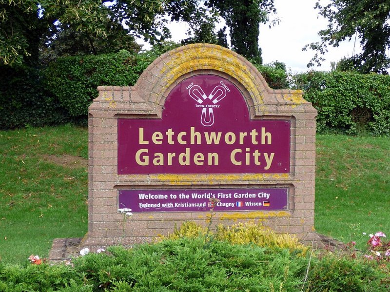
Letchworth Garden City

Walk Highlights
- Location:
- Letchworth Garden City
- Postcode:
- SG6 1AN
- Parking:
Choice of car park options, postcode above directs to Radwell Meadows Country Park, which is the northern-most car park symbol on the map.
- Distance:
- 13.60 miles
- Time:
- 4.30 hours
- Difficulty:
- Challenging
- Facilities:
- Pub Nearby
- Get Directions:
-
Get driving directions to the starting point with a Premium Membership.
Upgrade to Unlock
Premium Dog-Centric Details
PLUS- Stile-Free Walk:
- Locked
- Poo Bins Available:
- Locked
- Secure/Fenced Area:
- Locked
- Dog Water Source:
- Locked
- Dog Notes:
- Locked
- EV Charger Nearby:
- Locked
- Fuel Station Nearby:
- Locked
- Livestock Information:
- Locked
- Off-Leash Policy:
- Locked
- Dog Traffic:
- Locked
- Seasonal Advice:
- Locked
- Height Restriction:
- Locked
- Printable Route Map:
- Locked
Unlock All Dog-Centric Details!
Become a DogWalksNearMe+ member to see if this walk has stile-free access, livestock warnings, off-leash policies, and more.
Upgrade to PLUSA 13.6 mile circular trail surrounding Letchworth Garden City, offering the chance to discover the beautiful countryside around Letchworth. Follow the Garden City Greenway route, with 60 green circled waymarkers positioned at points around the Greenway, including Radwell Meadows Country Park.
How to get there
Letchworth Garden City is situated in North Hertfordshire, 38 miles from the heart of London and 29 miles from the centre of Cambridge. The town centre is easily accessible from junction 9 of the A1(M), which is just a 22 minute drive from junction 23 (South Mimms) of the M25.
Walk
The Garden City Greenway Follow the Garden City Greenway route, with 60 green circled waymarkers positioned at points around the Greenway. The markers are numbered between 1 and 60, on circular discs attached to wooden posts, all visible from the Greenway path. Tailor the length of the route to your own requirements.
Grid Reference: TL 224 301
what3words: ///tune.unique.formal
Information Accuracy
Conditions can change. Please verify critical information locally. Your safety is your responsibility.
Report an IssueMap
Unlock Premium Map Features
Upgrade to DogWalksNearMe+ to access our best planning tools for this walk:
Interactive Map
See your live location on the trail.
Offline Access
Save the route for when you have no signal.
Print Route
Take a physical copy of the map with you.
Comments & Reviews (0)
Get More From This Walk!
Create a free account to save this walk, rate it, and share your experience.
Be the first to comment on this walk!