Premium Walk
Railway Walk, Hardcastle Crags

Walk Highlights
- Nearest Town:
- Hebden Bridge
- Postcode:
- Unlock Postcode
- Parking:
- Unlock Parking Info
- Distance:
- 3.30 miles
- Time:
- 1.50 hours
- Difficulty:
- Moderate
- Get Directions:
- Unlock Driving Directions
3-Day Dog Walking Forecast
Loading forecast...
Powered by Open-Meteo
Ground Conditions
No reports yet. Walked this recently?
Dog-Centric Details
- Poo Bins Available:
- No
- Secure/Fenced Area:
- No
- Dog Water Source:
- No
- Dog Notes:
- EV Charger Nearby:
- No
- Fuel Station Nearby:
- No
- Livestock Information:
- Off-Leash Policy:
- Partial Off-Leash
- Dog Traffic:
- Moderate
- Seasonal Advice:
- Height Restriction:
- No
- Printable Version:
- Upgrade to Plus to Print
About this Walk
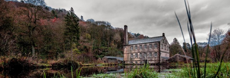
One of the longer trails at Hardcastle Crags, the Railway Trail is 3-miles in length and offers some stunning riverside views.
National Trust Membership: For free parking at most National Trust car parks, and free entry to over 500 places - join here.
How to get there
A646 westbound fr...
