Premium Walk
Greenlee Lough

Walk Highlights
- Nearest Town:
- Henshaw
- Postcode:
- Unlock Postcode
- Parking:
- Unlock Parking Info
- Distance:
- 3.80 miles
- Time:
- 2.00 hours
- Difficulty:
- Moderate
- Get Directions:
- Unlock Driving Directions
3-Day Dog Walking Forecast
Loading forecast...
Powered by Open-Meteo
Ground Conditions
No reports yet. Walked this recently?
Dog-Centric Details
- Poo Bins Available:
- No
- Secure/Fenced Area:
- No
- Dog Water Source:
- No
- Dog Notes:
- EV Charger Nearby:
- No
- Fuel Station Nearby:
- No
- Livestock Information:
- Off-Leash Policy:
- Full Off-Leash
- Dog Traffic:
- Moderate
- Seasonal Advice:
- Height Restriction:
- No
- Printable Version:
- Upgrade to Plus to Print
About this Walk
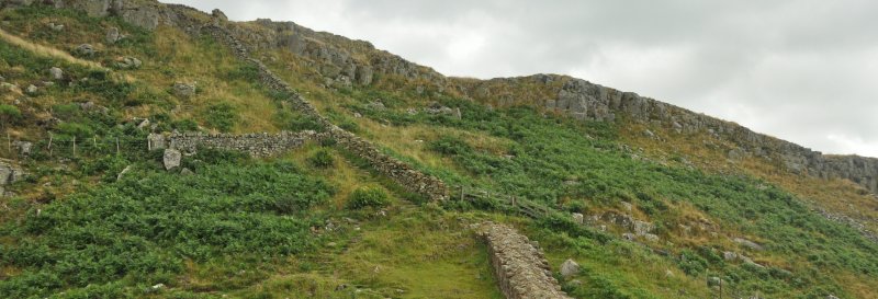
Greenlee Lough is a lake and national nature reserve in Northumberland.
English Heritage Membership: Enjoy unlimited access to hundreds of historic places - join here.
How to get there
Follow the B6318 to the crossroads with the National Park Centre at Once Brewed. Take the turning sig...
