
Bath Skyline

Walk Highlights
- Nearest Town:
- Bath
- Postcode:
- BA1 1LN
- Parking:
Central Bath: pay and display car parks (e.g., Charlotte Street, Avon Street). On-street parking in SW quarter often resident permit only or timed. Check restrictions carefully.
- Distance:
- 2.80 miles
- Time:
- 1.00 hours
- Difficulty:
- Easy
- Terrain:
City pavements, park paths (some surfaced, some grassy). Bath is hilly - expect moderate to steep inclines/descents. Some steps likely.
- Facilities:
- Toilets, Cafe, Pub Nearby
- Get Directions:
-
Get driving directions to the starting point:
Create a free account to make this useful beyond one walk
Save walks, build a shortlist, report current conditions, and join the local dog-walking community.
3-Day Dog Walking Forecast
Ground Conditions
No reports yet. Walked this recently?
Dog-Centric Details
- Poo Bins Available:
- Yes
- Secure/Fenced Area:
- No
- Dog Water Source:
- No
- Dog Notes:
On leads on pavements/roads & busy parks. Some parks may allow off-lead (check signs). Bins plentiful. Carry water. Beware traffic.
- EV Charger Nearby:
- No
- Fuel Station Nearby:
- No
- Livestock Information:
- Off-Leash Policy:
- Partial Off-Leash
- Dog Traffic:
- Moderate
- Seasonal Advice:
- Height Restriction:
- No
- Printable Version:
- Open & Print
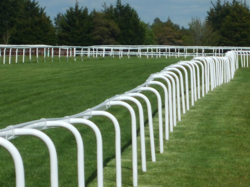
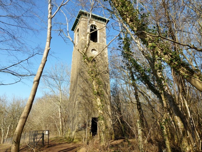
A short, circular dog walk from Bath city centre out to the countryside of the Bath Skyline. This walk has stunning views, hidden waterways and Georgian history.
National Trust Membership: For free parking at most National Trust car parks, and free entry to over 500 places - join here.
How to get there
The Tourist Information Centre is in the Abbey Churchyard.
Walk
1 From the Tourist Information Centre, turn left then an immediate left into York Street. At the end of York Street, turn left, then take a right over two crossings. Take a left to head along Grand Parade, then right to cross over Pulteney Bridge. Contine on to the end of the street, then cross the main road to head into Sydney Place.
2 Head through Sydney Gardens and cross the railway bridge. Just before the next bridge, turn right then go onto the canal towpath and turn right. Take the towpath through the tunnel, then cross the canal and continue on the towpath. Head up a ramp and cross over Bathwick Hill road. Turn right to head over a bridge, then take a left down the steps to continue along the towpath.
3 When you reach lock 13, cross the canal footbridge and go up the incline to Sydney Buildings. Cross the road, go up the steps, then continue on the path and reach the viewpoint. Past the end of the field, turn right then make your way back, following the map, to the point where you left the canal towpath.
4 Head down some steps and reach North Parade Road, which you should follow back down to reach the start point of the walk.
Grid Reference: ST 750 646
Safety Disclaimer
Outdoor activities always involve an element of risk. Routes, terrain, surfaces, weather, access, livestock presence, water levels, and parking arrangements can change at any time, and path conditions may deteriorate without notice.
You are responsible for your own safety and for the safety, supervision, and wellbeing of your dogs, children, and anyone else with you. Please assess conditions for yourself before setting out and decide whether the walk is suitable for your group.
Dress appropriately for the conditions and bring suitable equipment, food, water, leads, navigation tools, and anything else needed for a safe outing. Trail Tails Ltd is not responsible for loss, damage, injury, incident, or any consequences arising from use of this information.
Help Keep This Walk Accurate
If anything has changed or looks incorrect, please send us an edit or update suggestion.
Suggest an Edit or UpdateMap
Share this walk:
Other Walks Nearby
More walks nearby
Create a free account to keep exploring nearby walks and build a shortlist.
Create Free Account
Comments & Reviews (0)
Get More From This Walk!
Create a free account to save this walk, rate it, and share your experience.
Be the first to comment on this walk!