
Williamson Park

Walk Highlights
- Nearest Town:
- Lancaster
- Postcode:
- LA1 1UX
- Parking:
Pay & Display parking is on Wyresdale Road entrance (100 spaces).
- Distance:
- 1.00 miles
- Time:
- 0.50 hours
- Difficulty:
- Easy
- Terrain:
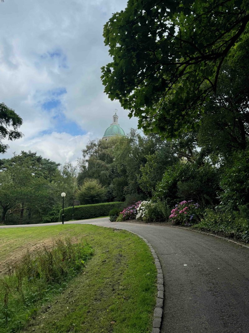
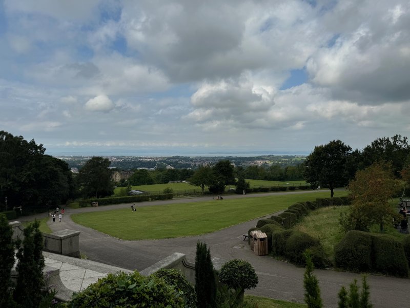
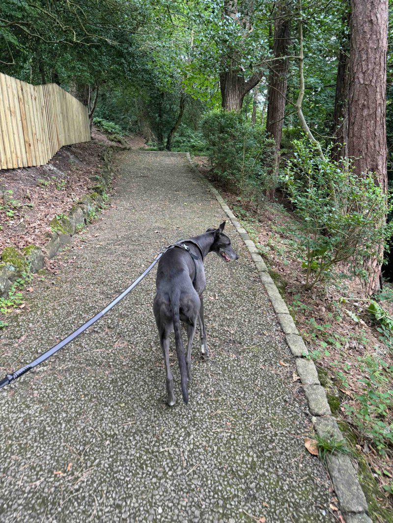
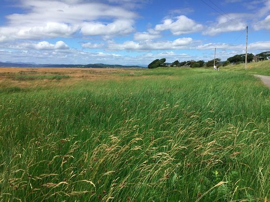
- Williamson Park in Lancaster features a varied and undulating terrain, largely shaped by its history as a former quarry. The park includes steep slopes, wooded areas with pathways, and open grassland areas, particularly around the principal buildings. The park's elevation ranges from 64m to 107m above sea level, with the Ashton Memorial standing on a ridge offering panoramic views.
- Facilities:
- Toilets, Cafe, - Facilities: Toilets, Café, Shop. The park is open Apr-Sep 10.00-17.00, Oct-Mar 10.00-16.00.
- Accessibility:
- Yes
- Get Directions:
-
Get driving directions to the starting point:
Create a free account to make this useful beyond one walk
Save walks, build a shortlist, report current conditions, and join the local dog-walking community.
3-Day Dog Walking Forecast
Ground Conditions
No reports yet. Walked this recently?
Dog-Centric Details
- Stile-Free Walk:
- Yes
- Poo Bins Available:
- Yes
- Secure/Fenced Area:
- No
- Dog Water Source:
- No
- Dog Notes:
- While dogs are generally welcome at Williamson Park, they are not permitted off-lead in all areas. The park has a Dog Code that encourages responsible dog ownership, including keeping dogs on leads around the cafe, Friends Garden, and main driveway. Owners are also asked to keep dogs under control, especially around wildlife and other park visitors.
- EV Charger Nearby:
- Yes
- Fuel Station Nearby:
- No
- Livestock Information:
- Off-Leash Policy:
- Partial Off-Leash
- Dog Traffic:
- Moderate
- Seasonal Advice:
- Height Restriction:
- No
- Printable Version:
- Open & Print
Williamson Park is home to the iconic Ashton Memorial and holds 54 acres of parkland with woodland walks and excellent views over the city of Lancaster and across to Morecambe Bay.
How to get there
Leave the M6 at junction 33 or 34 and follow signs for Lancaster City Centre. Once in the city follow tourist information signs for ‘Ashton Memorial’ or ‘Butterfly House’.
Walk
1 Head out from the car park to the left and onto the path leading away from it. Follow this as it winds first to the right and then to the left. Cross over the main path and continue into the woodland, heading toward point 2.
2 Continue onward through the woodland, taking a slight right and still heading to the north. The path rounds a little to the right, and snakes a little until point 3.
3 You will emerge from the woodland and see Ashton Memorial to your right. If you turn to the left, so you are facing away from the structure and head on northward, on the path up until you reach point 4.
4 You will see to your left effectively an exit to the park, so face away from that, heading to the right, and continue on the path, which turns to the left, before going right again. Remain on this path as it turns to the right still, before remaining on it down to point 5.
5 At point 5, you will find yourself behind Ashton Memorial. If you cross over the open space behind the structure and continue straight to point 6.
6 Turn left to head back into a wooded area, and continue on this path down until you reach the car park where you started, just at the opposite side.
Grid Reference: SD 487610
what3words: ///ambition.cutback.nudge
Photo Gallery

Safety Disclaimer
Outdoor activities always involve an element of risk. Routes, terrain, surfaces, weather, access, livestock presence, water levels, and parking arrangements can change at any time, and path conditions may deteriorate without notice.
You are responsible for your own safety and for the safety, supervision, and wellbeing of your dogs, children, and anyone else with you. Please assess conditions for yourself before setting out and decide whether the walk is suitable for your group.
Dress appropriately for the conditions and bring suitable equipment, food, water, leads, navigation tools, and anything else needed for a safe outing. Trail Tails Ltd is not responsible for loss, damage, injury, incident, or any consequences arising from use of this information.
Help Keep This Walk Accurate
If anything has changed or looks incorrect, please send us an edit or update suggestion.
Suggest an Edit or UpdateMap
No route map available for this walk.
Share this walk:
Other Walks Nearby
More walks nearby
Create a free account to keep exploring nearby walks and build a shortlist.
Create Free Account
Comments & Reviews (0)
Get More From This Walk!
Create a free account to save this walk, rate it, and share your experience.
Be the first to comment on this walk!