
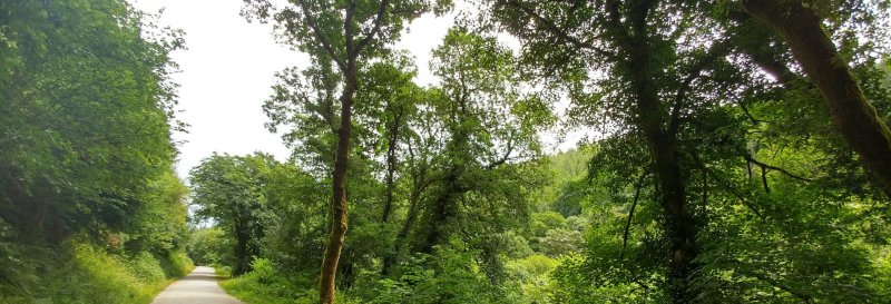
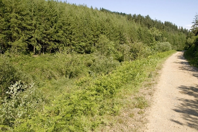
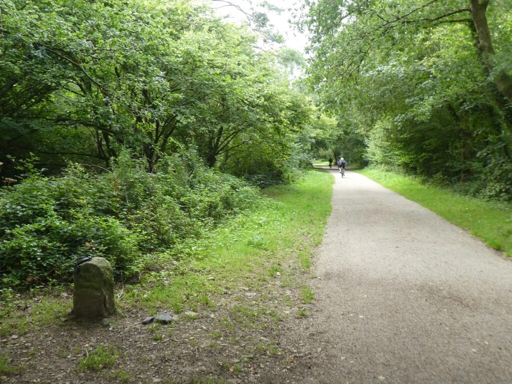
Cardinham Woods
Walk Highlights
- Nearest Town:
- Bodmin
- Postcode:
- PL30 4AL
- Parking:
There is a good-sized pay-and-display car park located at the beginning of the walking trails.
- Distance:
- 4.00 miles
- Time:
- 2.00 hours
- Difficulty:
- Moderate
- Terrain:
Woodland paths.
- Facilities:
- Toilets, Cafe
- Get Directions:
-
Get driving directions to the starting point:
Create a free account to make this useful beyond one walk
Save walks, build a shortlist, report current conditions, and join the local dog-walking community.
3-Day Dog Walking Forecast
Ground Conditions
No reports yet. Walked this recently?
Dog-Centric Details
- Poo Bins Available:
- Yes
- Secure/Fenced Area:
- No
- Dog Water Source:
- No
- Dog Notes:
Off-lead opportunities.
- EV Charger Nearby:
- No
- Fuel Station Nearby:
- No
- Livestock Information:
- Off-Leash Policy:
- Full Off-Leash
- Seasonal Advice:
- Height Restriction:
- No
- Printable Version:
- Open & Print
Cardinham Woods are a beautiful mixed woodland. Here, we list three circular walks with varied length, to suit all abilities.
How to get there
Cardinham Woods are located just off the A30 near Bodmin and Lanhydrock.
Walk
1. Lady Vale Walk (1.5 miles – Purple Marked Route)
This easy-going route is flat the whole way, with a good accessible path which runs alongside the river one way, and then back along the other side. Follow the river upstream to Lady Vale Bridge, before crossing the river and making the return trip.
2. Wheal Glynn Walk (2.5 miles – Grey Marked Route)
Additional to the Lady Vale Walk, this route encompasses a long loop which begins at Lady Vale Bridge, leading up to the old lead and silver mine. This route has steep ascents, so beware of this for you and your dog, but the views over the forest make it worthwhile.
3. Deviock Trail (4.0 miles – Pink Marked Route)
The longest route, this walk provides a gentle climb up the forest tracks to explore the outer reaches of the woodland. Follow the pink marked route round to reach the top, before a steep descent takes you back down to Scots pine picnic area and Lady Vale Bridge.
Grid Reference: SX 100 667
Safety Disclaimer
Outdoor activities always involve an element of risk. Routes, terrain, surfaces, weather, access, livestock presence, water levels, and parking arrangements can change at any time, and path conditions may deteriorate without notice.
You are responsible for your own safety and for the safety, supervision, and wellbeing of your dogs, children, and anyone else with you. Please assess conditions for yourself before setting out and decide whether the walk is suitable for your group.
Dress appropriately for the conditions and bring suitable equipment, food, water, leads, navigation tools, and anything else needed for a safe outing. Trail Tails Ltd is not responsible for loss, damage, injury, incident, or any consequences arising from use of this information.
Help Keep This Walk Accurate
If anything has changed or looks incorrect, please send us an edit or update suggestion.
Suggest an Edit or UpdateMap
No route map available for this walk.
Share this walk:
Other Walks Nearby
More walks nearby
Create a free account to keep exploring nearby walks and build a shortlist.
Create Free Account
Comments & Reviews (0)
Get More From This Walk!
Create a free account to save this walk, rate it, and share your experience.
Be the first to comment on this walk!