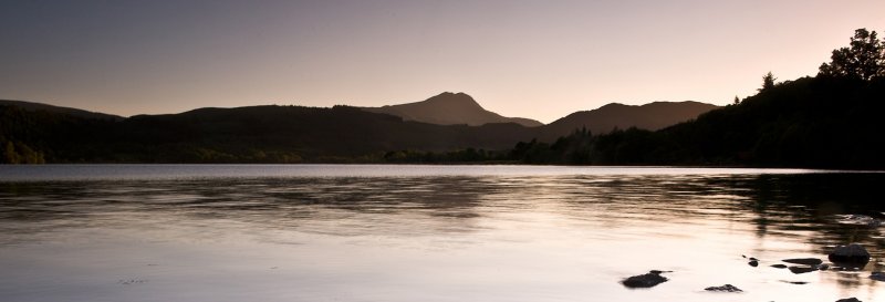
Loch Ard Forest

Walk Highlights
- Location:
- Stirling
- Postcode:
- FK8 3TG
- Parking:
Parking: There is a dedicated, paid car park available at the eastern end of Loch Ard, managed by Forestry and Land Scotland (FLS). Fees apply (check current signage for rates and payment methods). The car park can get busy, especially on weekends and sunny days.
- Distance:
- 3.50 miles
- Time:
- 1.50 hours
- Difficulty:
- Easy
- Terrain:
Terrain: A truly beautiful and invigorating circular walk around Loch Ard. Paths are a mix of wide, well-maintained compacted gravel tracks and natural earth paths along the lochside and through woodlands. The terrain is gently undulating (total ascent 160m / 525ft), following the contours of the loch and surrounding forest, with moderate climbs and descents that add to the engagement. Expect paths to be muddy and prone to puddles in places, particularly after rain or in wetter sections of the forest. Sturdy, comfortable walking shoes are recommended, and waterproof footwear is advisable.
Accessibility: Many sections of the main forest tracks and lochside paths are wide and relatively flat, offering good accessibility. However, the full 7.6-mile loop around Loch Ard includes natural paths that can be uneven and muddy, making full accessibility challenging.- Facilities:
- Facilities: Picnic tables at the car park.
- Get Directions:
- Unlock Driving Directions
Unlock the Full Guide
Get access to the full route description, interactive map, parking details, and user reviews with an Essentials or Plus plan.
