-
Runswick Bay
North York Moors National Park
Runswick Bay
Linear walk
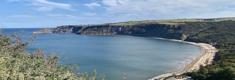
A pleasant two-mile linear walk along the Runswick Bay clifftop to enjoy wide views over Runswick Bay and Port Mulgrave. It's an easy access walk that doesn't descend to the village of Runswick Bay itself, but instead follows the Cleveland Way National Trail as it heads north towards Staithes. Downloadable map available here.
Useful Information
How to get there: From the A171, join the B1266 then the A174 toward Runswick Bay.
Grid Reference: NZ 808 161
Nearest Postcode: TS13 5JF
Parking: Upper car park, Runswick Bay.
2 miles
Easy
45mins
The Walk
A pleasant clifftop walk with wide views to enjoy.
Map with thanks to Ordnance Survey.
Walk
1 Walk up Lingrow Close to join the Cleveland Way. Follow the path to point 2 on the map.
2 The turn-around point of the walk allows a view of the remains of the harbour at Port Mulgrave.
Enjoy this walk?
Say thanks with a coffee.
Our Affiliate Partners